(ROB MUNRO / iNFOnews.ca)
December 19, 2022 - 12:59 PM
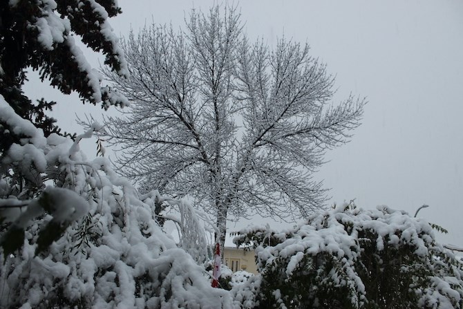
What could be the coldest nights of the winter are expected this week in Kamloops and the Okanagan.
Despite having the mercury dropping to -26 Celsius, it’s still not as cold as last December when the temperature fell below -30 C in Kelowna and -28 C in Kamloops.
It just seems like a very cold December.
“You might feel colder than last December because, this year, the cold spell has been going on for a longer period of time,” Environment Canada meteorologist Derek Lee told iNFOnews.ca today, Dec. 19. “Usually there are fluctuations from the weather systems coming in from the Pacific bringing warmer air.”
READ MORE: Yukon wind chill below -50 C, more snow for southern B.C., as frigid system hits
Last December, at least 10 days were above freezing in Kamloops (records for two days are missing) with the warmest being 12 C on Dec. 12.
So far this year, only three days have been above freezing, with the warmest day of the month, so far, being 2.5 C on Dec. 11. The forecast doesn’t show anything above -3 C through to Christmas Day.
The cold started early this year.
In November 2021, no daytime highs in Kamloops were below freezing. This year, there were 13 daytime highs below 0 C.
And, even if it gets to -26 C this week, that doesn't match the coldest night of December 2021 in Kamloops at -28.3 on Dec. 27.
It’s a similar story in Kelowna where half the days in December 2021 got to freezing or above, starting at 18 C on Dec. 1.
By comparison, only four days got above zero this year with the high being 2 C on Dec. 11. The coldest night last December was -30.2 on Dec. 27.
In addition, 11 days in November of this year did not get above freezing compared to only one last year. It’s only forecast to get up to -4 C in Kelowna by Christmas Day.
“At least until the last week of December it looks like the storms from the Pacific continue to come back,” Lee said. “The warming trend is here to stay, for the Interior. It may not get above zero but it’s going to be definitely closer to seasonal average temperatures.”
That warming trend means it’s highly unlikely that December 2022 will come anywhere close to breaking any cold records.
The good news is the cold weather looks to be at its worst this week and it should moderate through January and February, although it may fluctuate at times.
READ MORE: iN TRAFFIC: Respite from snow on Thompson-Okanagan highways today but returning tonight
In the meantime, brace for a nasty onset tomorrow of not only snow but cold.
A low pressure system is moving in from Washington State tonight, Dec. 19, with the chance of 10 to 20 centimetres of snow, especially at higher elevations.
Since it’s coming from the south, Kamloops should escape much of the snow tomorrow but will only have daytime highs of -18 C to -22 C through to Thursday. Snow and warmer temperatures are expected Friday.
Kelowna residents can expect milder temperatures of -15 C to -20 C through Thursday but up to 10 cm of snow through tomorrow. It’s also looking at slightly warmer temperatures on Friday but more snow on Thursday.
To contact a reporter for this story, email Rob Munro or call 250-808-0143 or email the editor. You can also submit photos, videos or news tips to the newsroom and be entered to win a monthly prize draw.
We welcome your comments and opinions on our stories but play nice. We won't censor or delete comments unless they contain off-topic statements or links, unnecessary vulgarity, false facts, spam or obviously fake profiles. If you have any concerns about what you see in comments, email the editor in the link above.
News from © iNFOnews, 2022