
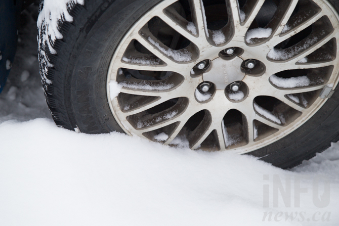
Up to 5 cm of snow expected on mountain passes
It might reach as high as 20 C in the valley bottoms today but Environment Canada is calling for two to five cms of snow on most mountain passes tonight and into tomorrow morning.
The weather officer has issued a special weather statement for an upper low that will bring a cool airmass to higher elevations of the BC Interior tonight and into the long weekend, perhaps as late as Saturday morning. The Coquihalla Highway, Allison Pass, the Okanagan Connector and Begbie Summit should get snow above 1,000 m elevation. Rogers and Kootenay Pass should get snow above 1,300 m.
Keep an eye on drivebc.ca.
The forecast for the long weekend is exactly as campers have come to expect this time of year: Rain. There's a 30% chance of showers Saturday in the Okanagan with a high of only 13 C for Kamloops, rising to 16 C in the Okanagan. Sunday and Monday, however, appears to be sunny with highs of 18 to 19 C throughout the region.
To contact a reporter for this story, email Marshall Jones or call 250-718-2724 or email the editor. You can also submit photos, videos or news tips to the newsroom and be entered to win a monthly prize draw.
We welcome your comments and opinions on our stories but play nice. We won't censor or delete comments unless they contain off-topic statements or links, unnecessary vulgarity, false facts, spam or obviously fake profiles. If you have any concerns about what you see in comments, email the editor in the link above. SUBSCRIBE to our awesome newsletter here.